Step inside. Real places, most of them well off the beaten track, and every one of them yours to explore.
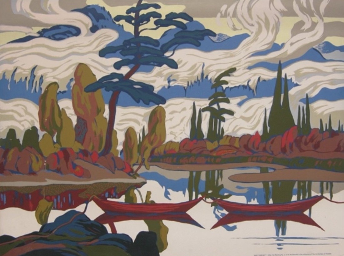
J.E.H. MacDonald, Mist Fantasy, 1922. Public domain.
Live · 3D
Batchawana Station
It started when Land'escapes bought the Painted Forest, thousands of acres north of Sault Ste. Marie where the Group of Seven came to paint. I decided to find their sites on my own, so I built a tool to do it. This is Batchawana Station, a square kilometre of the Batchawana River right on the Algoma Central line. Stand where I think J.E.H. MacDonald stood for Mist Fantasy, blend the painting into the scene, and see if it lines up.
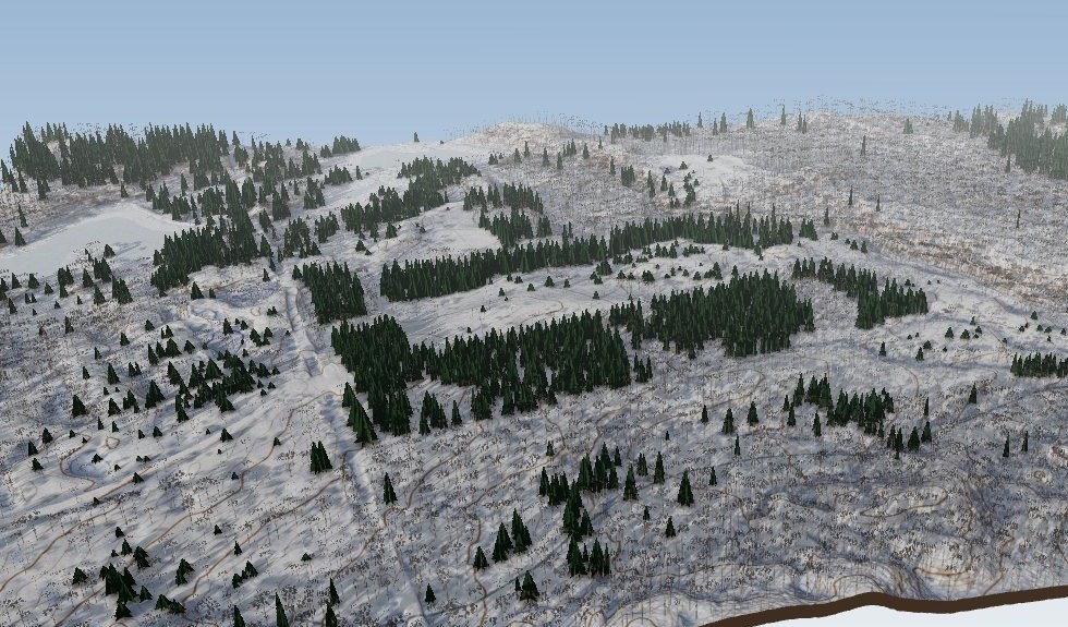
Thirty-three acres in the Mulmur hills. A river cutting its ravine, mixed forest, open ground, and the Bruce Trail right next door. See the planning and survey sheets.
An escarpment property where people golf, ski, race and walk. I've mapped it for every one of them.
What I did
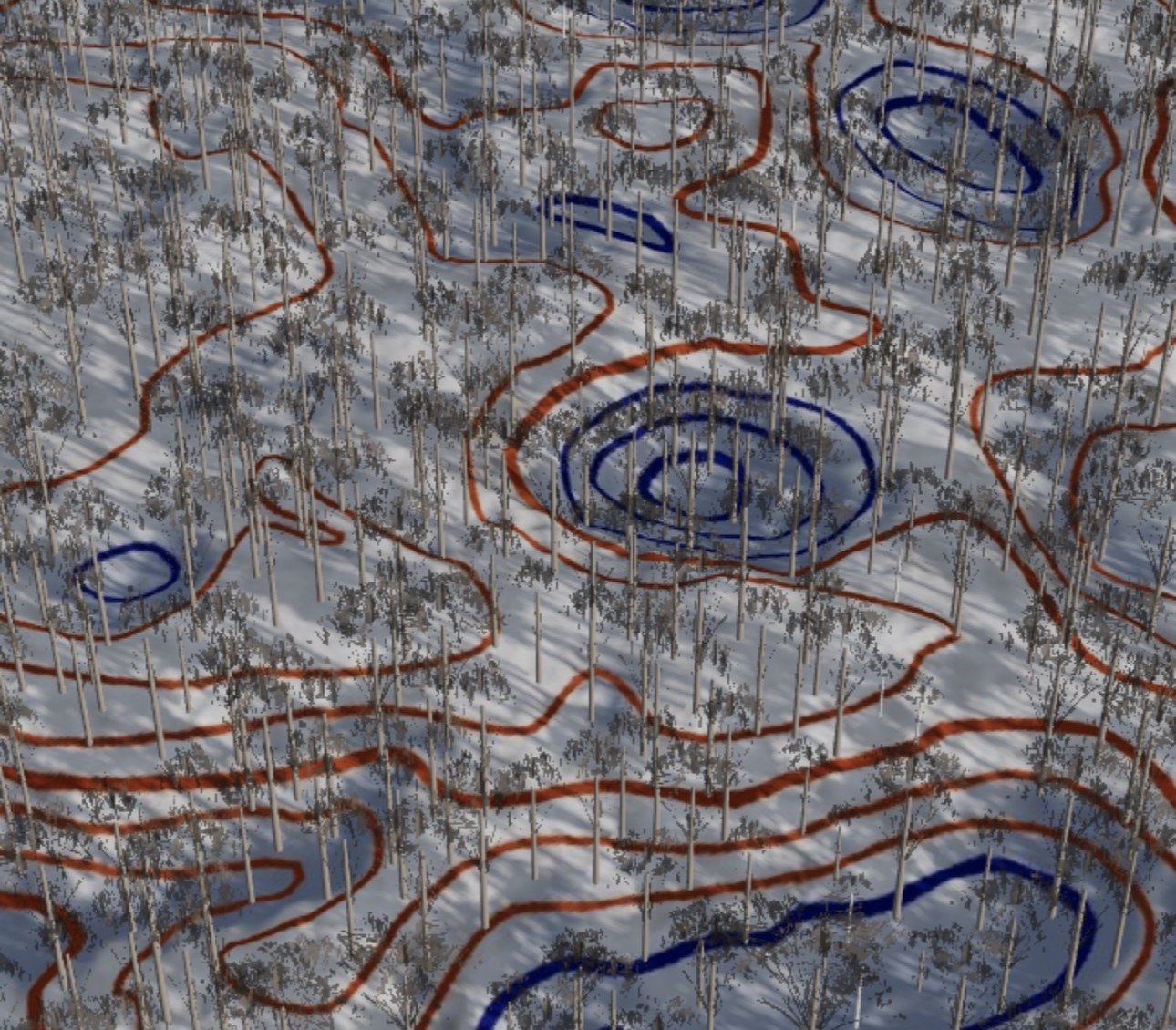
The Highlands Nordic trail map, every ski trail on the property
The ski orienteering map for the Highlands Ski-O
A maintenance map of the golf course for the grounds crew
Measured plans for rebuilding a tee box and green
The golf course, measured and built in 3D
What I can do for a place like this
Trail and race maps for skiing, running and hiking
Maintenance maps with every cut surface measured
Renovation plans: tees, greens and whole holes, with the earth to move
Tree inventories and course tours in 3D
Maps for members and guests to keep
Maps and 3D tours coming soon.
The County Series
One special place in every county
Ontario has a rare, overlooked place in every county. I'm going to find them, one by one, and bring each one here in 3D. First up: Long Point, in Norfolk County, the longest freshwater sandspit in the world.